Prospecting & Detecting
Using Google Earth and Other Maps
November 2012 by Chris Ralph
Last month, one of our readers requested an article regarding the possible use of Google Earth for prospecting research. It was a good idea, so here it is.Gold Prospecting With LiDar
 November 2023
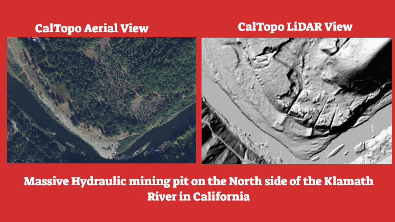
LiDAR Opens a New Window to the Earth
Some Tips and Tricks for Dredgers: Determining Pulley Size and Belt Length
If Epd is larger, then the compressor will be spinning faster than the manufacturer’s maximum specified RPM and might destroy itself. If this happens, then the compressor again might not produce enough air to support a diver. Neither is a desired outcome.
The Bucking Room
 Since this position was the least desirable due to the hard physical labor, the bucking room was used as punishment. Do you have a mediocre worker? Bad attitude? Off to the bucking room!
Ancient River Channels of Trinity County
Trinity County is located in the far northwest corner of California and stirs up many different memories for those who have been there.
Prospecting for Pegmatites
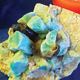 …in some cases pegmatites have produced individual mineral crystals that are enormous, attaining lengths of over 40 feet long, and many of the world’s largest mineral crystals are examples that were found within pegmatite deposits.
Let Nature Help
 September 2022
You’re out in the goldfields and searching for a spot that will possibly give up a gold nugget.
Divide and Conquer—Detecting Old Placer Grounds with Friends
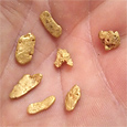 He no sooner had turned around and started moving when I hollered again that I had another nice one.
Subscription Required:
The Bawl Mill
• Ask the Experts
• Ask the Experts
• Ask the Experts
• Ask the Experts
• The Portable XRF Gun
• Gold Dredging on Oregon's South Umpqua
• The Struggle to Reopen Alaska's Largest Gold Mine
• Prospecting With a Detector: Lessons Learned
• The Rush to Treasure Hill
• Tips on Crevicing for Gold
• Proper Assaying of Placer Samples
• Mining, Health Care & Taxes
• Melman on Gold & Silver
• Mining Stock Quotes and Mineral & Metal Prices